
A Century of Flood Management Innovations
The City of San Antonio continues to strategically safeguard its downtown region with a variety of flood control systems in place
By Robert Reyna
Municipal governments have to plan ahead and prepare for natural disasters and unexpected events. Shortly after San Antonio, Texas endured a historic flood in 1913, the city set into motion a series of flood management projects that are still being utilized today.
The 1913 storm was mostly an afterthought by residents by 1987. That’s when the City of San Antonio’s Public Works Department embarked on its largest flood control project yet.
The City, in conjunction with the U.S. Army Corps of Engineers, began building a $111 million, 3.2-mile underground tunnel to divert stormwater 150 feet beneath downtown and away from the heart of the city’s business and tourism district. The builders did not know when that next big rain event would happen, but they knew it was important to be ready.
The San Antonio River Tunnel was completed in 1997 and the project paid for itself the following year when a 50-year storm swept through the region. Tragically, the 1998 storm claimed 25 lives and hundreds of millions of dollars in property damage across south-central Texas. Those numbers would have no doubt been much higher were it not for this tunnel, which is equipped to handle a 100-year storm. The downtown area has been spared from significant flooding ever since.
While highways were underwater on the north side of town, tourists were enjoying downtown as if it was a normal rainy day. The River Walk, the city’s second most recognizable landmark (remember the Alamo?), was left unscathed and allowed to continue providing an economic benefit to the city.
The downtown River Walk is known for its serene, constant level, thanks to a system of tunnels, dams, gates and locks. It’s this constant level that provides a picturesque scene and allows the restaurants and hotels along its banks to thrive.
Looking back, the first major flood management infrastructure project was the construction of the Olmos Dam in 1926. The $1.5 million dam stands 49 feet high and 1,941 feet long with six gates. This was followed by the channelization of the San Antonio River, installing floodgates downtown and construction a second, smaller downtown tunnel underneath the San Pedro Creek.
Both downtown tunnels have a diameter of 24 feet and consist of precast concrete blocks, anchored and grouted in place. Contractor Obayashai of Japan provided the boring equipment.
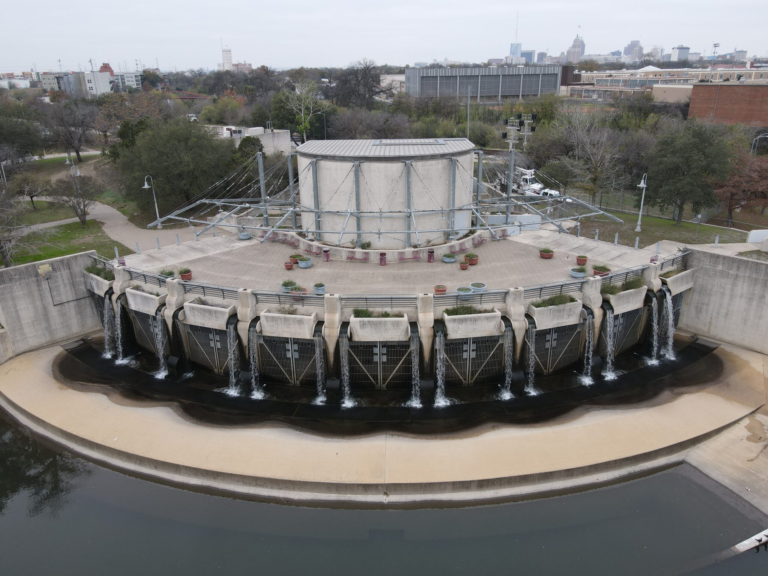
Trash racks located just before the inlet shaft pick up debris before it enters the tunnel. After a storm, an average of 40 tons of debris are collected. As water enters the chambers, it is also cleaned by a mechanical filter screen. The dissolved oxygen meter located just inside the chamber entrance assures that the oxygen level is at a point that keeps the water from becoming septic.
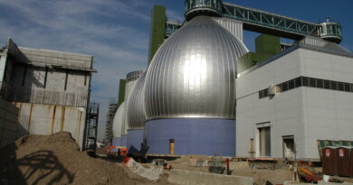
The Josephine inlet at the northern end of the San Antonio River tunnel includes the control rooms and a pump house with five recirculation pumps capable of producing 15 CFS (cubic feet per second) per pump. The inlet also includes park-like amenities, like a water feature, that provide a calm respite for people enjoying the northern “Museum Reach” portion of the River Walk.
Together, these projects form an ecosystem of flood management strategies that save lives, homes and businesses. By investing in this system, the City of San Antonio sets the standard for urban flood management.
Next time you visit, raise a margarita and toast the visionaries who made this happen.
Roberto Reyna is the assistant director of the Storm Water Division for the City of San Antonio Public Works Department.